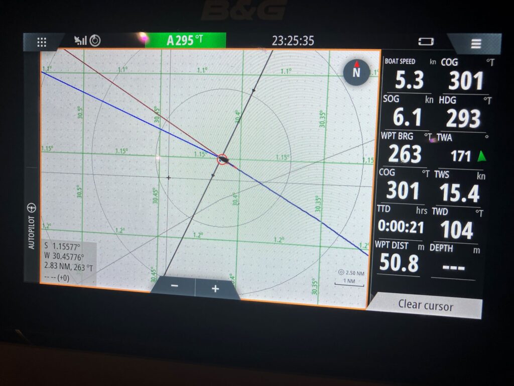
I’ve crossed the Equator twice now, once southbound more than 2 years ago and northbound again yesterday. You’d think there’d be a big dashed line like you see on globes and world maps but nope, nada! In the old days, before GPS, we would mark our position by painting a spot on the water. Alternately, you could paint a spot on the side of the boat. Either way, you’d know one thing or another.
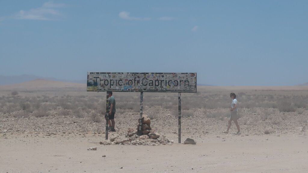
Of course, nobody precisely knows where equator is because zero degrees latitude (the Equator) is a made-up thing. That will come as some disappointment to people who build stone monuments with bronze plaques that say “Dude, you’re standing on the Equator”. I passed a sign by the gravel road in Namibia that said “Tropic of Capricorn” like they knew where it was. Trust me, Henry Miller’s book is way more interesting.
Over the years (centuries), increasingly refined mathematical models have evolved to represent the earth’s surface. The current model is an oblate spheroid (a sphere squished down a bit at the north and south poles) and designated as WGS84. WGS = World Geodetic System. It was preceded by WGS60, WGS72, and others. Of course, every time you change the model the location of the Equator in relation to physical points on the earth also changes.
The WGS84 model and datum are the basis for the latitude and longitude coordinates you get on any GPS device. The various GPS satellite constellations, there are now several, are actually datum-agnostic but WGS84 is the agreed datum they use. So everyone gets WGS84 coordinates and they drive, fly, sail, hike, etc. using them. Everyone is happy, right? Wrong.
The problem comes when you plot WGS84 coordinates on a map or chart that wasn’t drawn using the WGS84 datum and coordinate system. It will show your position in the wrong place. This problem is especially acute with nautical charts which have been drawn over a very long time using who-knows-what datum, map projection, coordinate system, etc. Modern boats like mine are all equipped with “chartplotters”, fundamentally moving map displays like a satnav map you may use in your car. However, the electronic charts the chartplotter uses are often derived from old paper nautical charts without correcting them to WGS84.
I encountered this problem in Tierra del Fuego. I was motoring through a channel between two islands, pretty much in the center of the channel as I eyeballed it. However, the chartplotter showed my position way off to one side of the channel, almost on the shore of one of the islands. The Pacific is another place where the nautical e-charts can be far off. Through a somewhat convoluted process, tech-savvy cruisers are geo-referencing satellite imagery and loading that into their chartplotters. Not only does it accurately display their boat’s position relative to islands, reefs, sand bars, etc. it also shows other information like submerged coral heads as dark shapes in the water. It seems chartplotter makers should pick up on this data source as a product and make it easy for people to load satellite imagery into their chartplotters. Maybe they’re working on that.
So, if you’re ever at a cocktail party and someone comes up and asks “What’s your datum?” don’t be offended, just say “WGS84”. That will lead to a no doubt thrilling conversation about oblate spheroids, coordinate systems, map projections, datums and the like. You can toss in this factoid: even taking into account the mountains and ocean trenches, the Earth is still smoother than a cue ball! Ha. Or you can just say you’re datum-agnostic and walk away.


Tropic of Capricorn crossing the Namibian desert.
