Monthly Archives: August 2024

Richards Bay

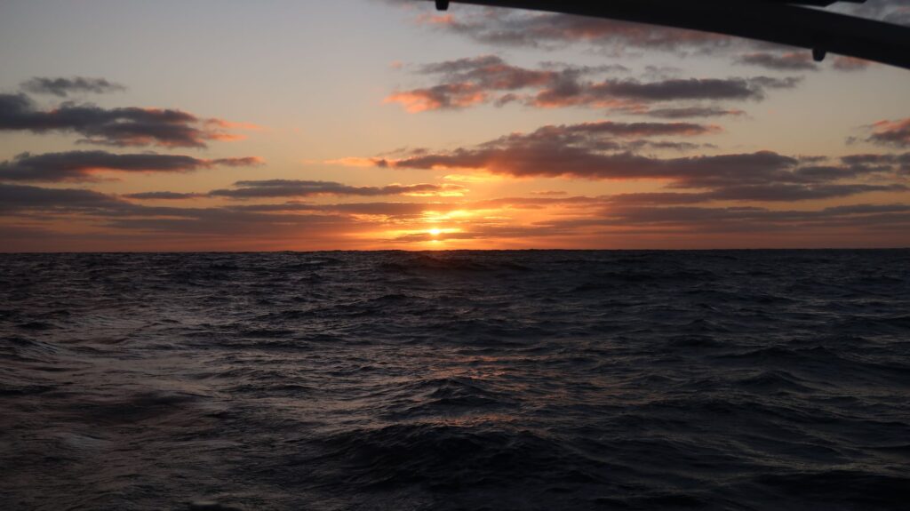
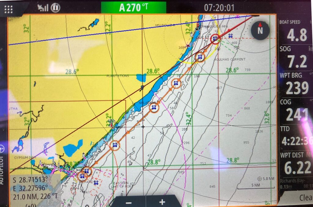
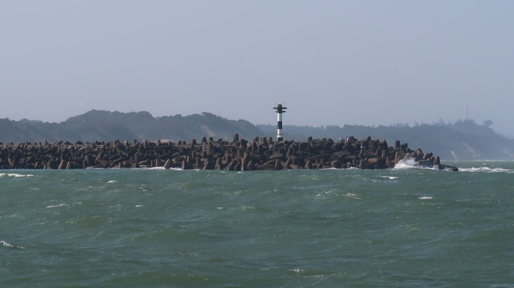
After a 12 day passage from Reunion Island through some rapidly changing weather conditions and unexpected counter-currents, I arrived in Richards Bay, South Africa, at 1300z on August 20. I was able to make use of easterly winds blowing west on the north side of a string of high pressure systems (counterclockwise rotation in the Southern Hemisphere). I’m very glad to have completed this passage without having to contend with any southwest gales which were, in effect, blocked for a while by the high pressure systems. That changes tonight when a southwest gale will blow in over Richards Bay.

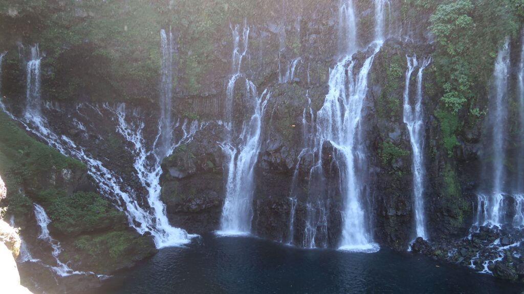
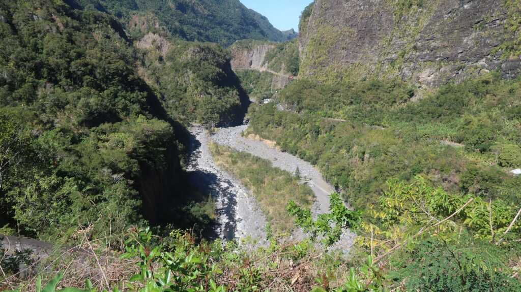
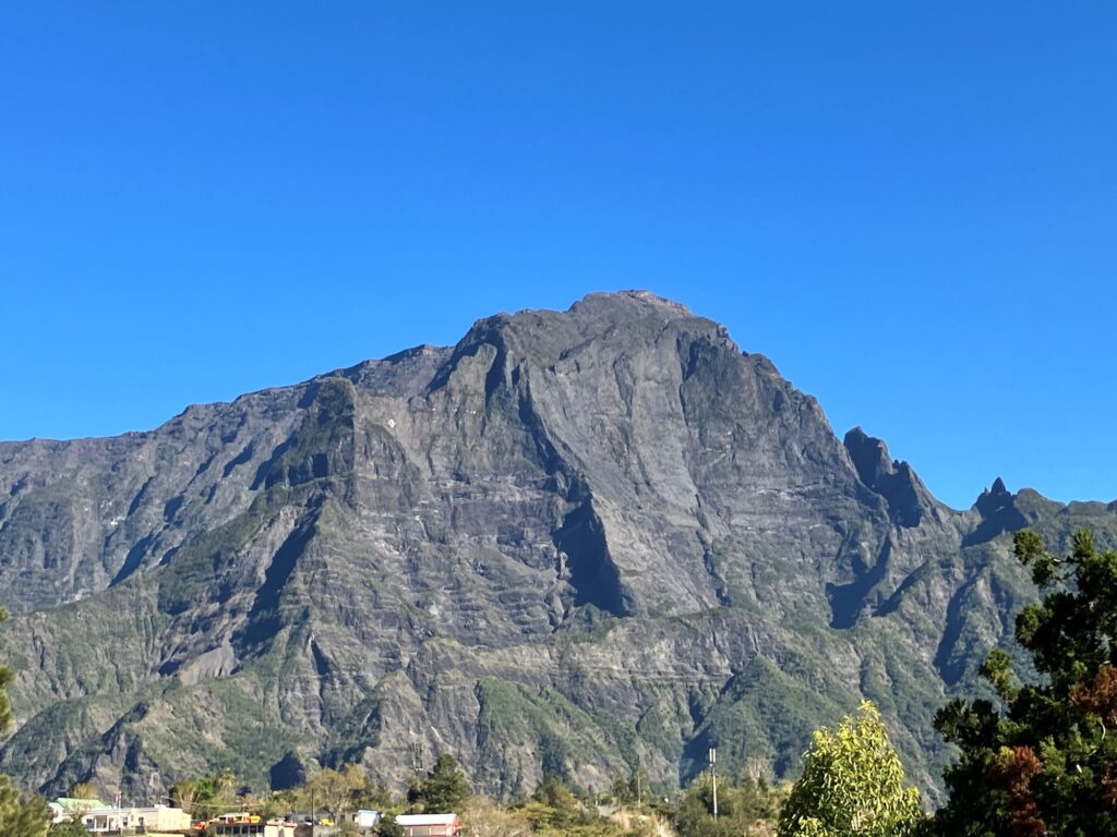
As I left Reunion Island I was treated to a pretty amazing concentration of humpback whales actively playing off the point of land at St-Gilles-les-Bains.   As I approached heading southwest I saw clusters of boats out there and wondered what was going on. I soon found out.  A parting gift as I left Reunion.

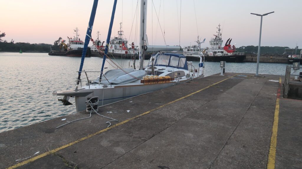
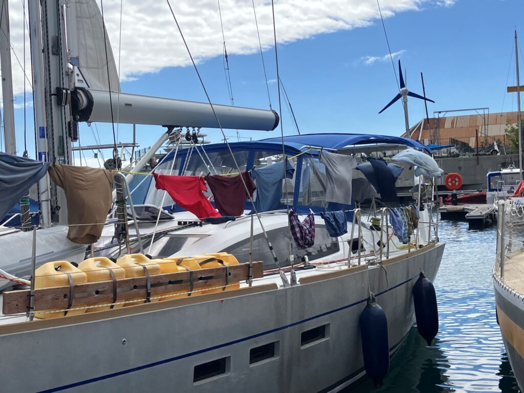
I’m currently tied to the concrete wall of the jetty where you must go first for Immigration procedures. The Custom building is a few miles away so a taxi ride was required this morning. There were strong crosswinds yesterday when I approached the jetty and unfortunately a big gust slammed Phywave into the wall and nicked up the aluminum hull a bit. I’ll see if I can get that cosmetic damage repaired while I’m here. I should have had all my fenders on that side of the boat.

This afternoon I’ll move across to a berth in the Zululand Yacht Club where all the visiting foreign boats go. The club seems more like a local social club, not just for boaters.

From here, the procedure to get around the coast of South Africa to Capetown in the face of periodic SW gales is well-known.  Wait for a weather window 3 or more days long and incrementally move the boat to the next port along the coast. Typical stops are East London, Port Elizabeth, Mossel Bay, Kynsna, and others.  I’ll be thinking of that in more detail when I embark on this passage in October.

I’ve mentioned to the few people I’ve met so far that this is not my first time in South Africa. They’re a bit astonished when I tell them I hitchhiked from Nairobi to Capetown and back again in 1975. Apartheid was still in place and Rhodesia hadn’t yet become Zimbabwe though it was under enormous economic and political pressure with international monetary sanctions in place. I have many stories from those days that I expect will come up as I hang out in the yacht club bar.

Sunrise in the Mozambique Channel
Moving diesel fuel from the jerry cans to the main tank while at sea.
Cape St. Lucia
Close-in approach course along the coast from Cape St. Lucia to Richards Bay
Starboard side entrance to port of Richards Bay
Phywave on the Q jetty wall in Richards Bay

Leaving Reunion

The passage from Reunion Island to Richards Bay in South Africa around the southern tip of Madagascar (Mada for short) is renown for being difficult, mainly because there are strong gales spinning out of the South Atlantic Ocean and Antarctica that periodically cross the route.  The best time to make this passage is in October when the gales become less frequent during the Austral Spring and before tropical storm season begins later in November.

Which led to a dilemma for me. I was comfotable in the marina at Reunion Island.  When I arrived I told them I’d like to stay until October which they seemed OK with then.  Meanwhile, I’d been watching the weather forecasts daily, as I always do when flying or sailing. I spotted a weather window I thought could work leaving Reunion on August 8.  Considering that option against staying until October, I went to the marina office to confirm I could stay until October. To my surprise they told me I had to be out by September 30 because the marina was fully booked with sailing rallys that would start arriving October 1. 

Rallys are potentially large organized groups of boats sailing to the same destinations, like across the Atlantic or even around the world.  Boats pay to be part of the rally.  Depending on the rally, the organizers may arrange all logistical support for participating boats – fuel, marina berth space, clearing in and out formalities, weather forecasting,  tours of the places they stop, etc. Because of all that support, I call them nanny cruises.  Like other independent cruisers, I have to do all those things myself.

I have to be Seattle to participate in the First World Flight Centennial from September 26-29. There’s no way I could be back in Reunion to leave on September 30.  Moreover, I hate to be forced to leave into weather circustances that were not my choice and could be terrible. I planned to return to the US early in September. If I waited in Reunion longer, there’s no way to know if I’d find a better weather setup than the August 8 setup I had already identified.

So, as I write this August 9 I’m 24 hours and 130 nm into my passge to Richards Bay. You can never trust long range forecasts out 10 days to hold, especially in this part of the world. What’s important is that it holds at least until I can get passed (“weather” in sailor lingo) the southern tip of Mada. Once I’m passed that I can retreat north up the Mozambique (Moz) channel if necessary for bad weather, either by heaving-to or heading for two well-known weather anchorages at St. Augustine Bay on the west coast of Mada or the north side of Ilha Inhaca just outside Maputo in Mozambique. Generally, if a yacht is taking shelter from bad weather and nobody on board goes ashore, you can anchor in a country’s waters without going through the often arduous process of formally clearing-in to the country. 

That’s where things stand. I’ll see how it all works out.

La Reunion Scenes

Over the past few weeks I’ve made a number of excursions into the interior of Reunion Island where its spectacular volcanic history is found. I’ve included a map of Reunion which shows the three calderas(cirques) near the island center – Cirque de Mafate, Cirque de Cilaos and Cirque de Salazie, all dormant. At the conjunction of these cirques is Piton des Neiges, at 3071 meters the highest point in the Indian Ocean. In the lower right hand (SE) corner of the map is Piton de la Fournaise, the only active volcano on Reunion which last erupted in April, 2021.

To access these places, I had to drive up incredibly winding, narrow mountain roads, some with one-way tunnels blasted from solid rock (look for on-coming headlights before entering). The French certainly excel at building roads like this – there all over this island and France as well.

Map of La Reunion Island.
View of Cirque de Mafate from Maido viewpoint.
The village of la Nouvelle on a small plateau in the Cirque de Mafate
Piton des Neiges from Maido viewpoint
Cirque de Mafate from Maido viewpoint
Piton des Neiges in the background
Cascade de Grande Galet
From the road into Piton de la Fournaise caldera
Piton de la Fournaise
Small cinder cones in the Fournaise caldera
Hardened lava flow
To access the Fournaise caldera and the trail to it’s summit you have to descend an very step trail down this caldera wall.
From the small cinder cone the trail continues across the lava flows to the top of Piton de la Fournaise
Near Piton de la Fournaise
Waterfalls in Cirque de Salazie
Road/trail up to Col des Boeufs
View of Cirque de Mafate from Col des Boeufs
View looking west of the Cirque de Mafate wall. The Maido viewpoint is along the top of this wall.
View of the village of la Nouvelle looking west from Col des Boeufs
Cirque des Salazie from Col des Boeufs trail
Cirque wall from the town of Cilaos
Cilaos
Along the road to Cilaos
View to the west from Cilaos
Cilaos church with Piton des Neiges in the background
Laundry day on Phywave. The marina has a washing machine but not a dryer
Servicing the winches. I have to take them all apart, clean off the old grease with a toothbrush and degreaser, add new gear grease and reassemble. Hopefully they’ll turn the right way.